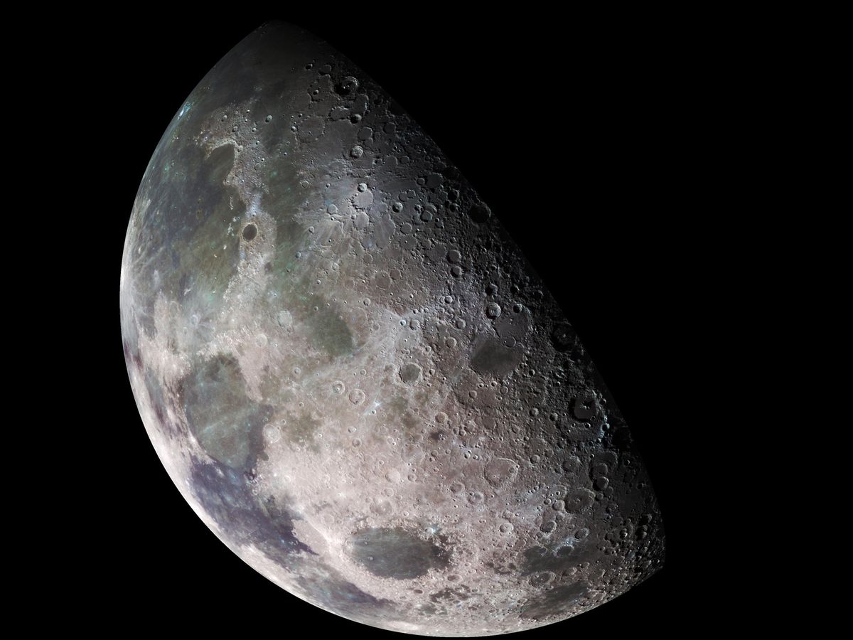
Engineers today need to understand the surface of the moon in a way that they haven’t since the Apollo era. This year, amidst a flurry of commercial, American, Indian, Japanese, and other recent missions, the agency plans to expand a tool originally designed as a one-stop shop for satellite missions observing the Earth to cover our celestial neighbor.
Around 2016, NASA’s technology-transfer program began working on a centralized index of Earth Observation (EO) remote-sensing datasets, computer models, and software. This was motivated by a desire to avoid the all-too-possible scenario of a poor young NASA intern being tasked with creating new software to process satellite imagery and then discovering only at the end of the project that another arm of the sprawling space agency had already done the work.
The resulting website, first published in 2018, is called the Remote Sensing Toolkit (RST) and offers newcomers to NASA and outside researchers an overview of what U.S. tax dollars have done for Earth observation across more than 20 satellites and missions.
“None of this stuff was meant to work together”
“The RST is not a tool in itself. It does not deliver data in itself, but the scientific community in NASA is very distributed: Each program does its own thing, puts out its own data, its own software. If you’re coming in from the outside, it could take you days to find what you want,” says technology transfer officer Tom Stanley of NASA’s Stennis Space Center in Hancock County, Mississippi.
Now the agency plans to include the moon in the RST’s remit, Stanley says: “It’s harder to find those resources.” The obvious next step is to add Mars, but the technology transfer office is still researching that expansion.
The fragmented history of EO data—not just within NASA, but globally—suggests that lunar data may face similar problems, especially as more private space missions fly. RST is not the only effort to bring together the many scientific and technical resources in the EO community. China has a platform for combining land, ocean, and meteorological data. The European Space Agency has its own version and the United Kingdom Department for Environment, Food and Rural Affairs (DEFRA) has one, too. NASA even shares one with the ESA and the Japanese space agency, JAXA. A global effort called the Global Earth Observation System of Systems (GEOSS), began in 2003 to set shared standards and searchability for EO data. But “GEOSS hasn’t become the go-to resource for EO data that was envisioned,” says Siri Jodha Singh Khalsa, a remote sensing scientist and the chair of the IEEE Geoscience and Remote Sensing Society Standards Committee.
EO users will want to know whether the resources on RST and other indices or platforms require plug-and-play abilities between datasets and software, says geospatial consultant George Percivall of GeoRoundtable, who is a cochair of the IEEE Geoscience and Remote Sensing Society Standards Committee. “Does the catalog provide a service to match tools with data?” he asks. It does not, Stanley says. For now, RST just unites NASA’s EO efforts without filtering by interoperability.
In the decades since GEOSS and even in the few years since RST launched, “the private sector has also become a major player in EO data,” Khalsa says, further fragmenting the EO market. Indeed, even small satellite operators are now offering commercial EO products. Still, this new private data trove may be less visible to remote sensing engineers and scientists than publicly available, if not yet centralized, data and software produced by NASA and other government agencies. “If it’s commercial, licensable, they tend to kind of hold it closely,” Stanley says.
Many different U.S. agencies claim an interest in, collect, and host lunar data. The United States Geological Survey (USGS) hosts decades of images, for example, the National Geospatial-Intelligence Agency leads moon navigation efforts, and in 2023 NASA began requiring the commercial lunar missions it is sponsoring to post data to a data repository. NASA’s internal organizational barriers will also slow down centralizing its lunar data, so the technology-transfer office will have its work cut out for it.
“None of this stuff was meant to work together. Piecing all this together: That’s the hard part,” Stanley says.
- Landsat Proved the Power of Remote Sensing ›
- Full Moon: Interlune Startup Aims to Mine for Helium-3 - IEEE Spectrum ›
- Data Centers on the Moon: Genius or Foolhardy? - IEEE Spectrum ›
Lucas Laursen is the technology policy editor at IEEE Spectrum. He covers how emerging technologies are changing the balance of power between companies, governments, and individuals. The rest of the time, he worries about his own balance on a bicycle, skis or the side of a mountain.


