
Counting seconds between a lightning flash and thunderclap is how anyone can tell how far away a thunderstorm is. (The storm is one kilometer away for each three seconds you count.) But if you want to know when the storm is coming and how strong it will be, you’re better off counting lightning flashes. That’s because supercomputer-armed meteorologists can use lightning-flash data to make more sophisticated predictions.
A team led by meteorologist Ming Xue at the University of Oklahoma reported last month a new way to incorporate lightning data into thunderstorm-forecasting models in Advances in Atmospheric Sciences. Early efforts to use lightning flashes were centered on regional ground-based networks of lightning detectors. In 2016, the U.S. National Oceanic and Atmospheric Administration (NOAA) launched the Geostationary Operational Environmental Satellite (GOES)-16 and -17 satellites with cameras designed to detect lightning flashes, making it possible to watch how lightning evolved over most of both American continents.
The satellite-mounted devices, called Geostationary Lightning Mappers (GLMs), offered the potential both of better understanding the relationship between lightning and thunderstorms, and the possibility of using the lightning data to improve thunderstorm forecasts. Indeed, in one early use, forecasters predicted that a threatening storm would move away from an outdoor concert, preventing an unnecessary evacuation.
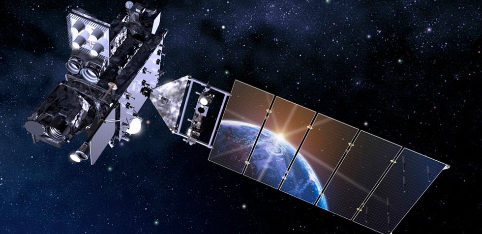 Rendering of a GOES-R Series satellite.Lockheed Martin
“This study and its direct predecessors are the only ones I’m aware of that take advantage of GLM’s method of lightning observation through use of the Flash Extent Density measurement,” says assimilation researcher Amanda Back of NOAA. “Because the GLM is an array of optical sensors, it records not just pointlike lightning locations, but also the horizontal extent of the lightning detections.”
Yet, incorporating that data into weather-forecasting models fast enough to improve storm forecasting is an enormous computing challenge. Meteorologists use various different frameworks to assign different weights and uncertainties to each available data sources and input the data into computer models of the atmosphere that then generate storm forecasts.
Since the satellite-based data is so much more extensive than previous regional datasets, researchers are trying to find more efficient ways to direct the flood of lightning-flash data into NOAA’s supercomputers.
Xue and colleagues, who had previously used a framework called a Gridpoint Statistical Interpolation ensemble Kalman filter (GSI-EnKF) to feed lightning data to forecasting models, decided to test a different approach, called a GSI ensemble-variational (EnVar) hybrid data-assimilation framework. The GSI EnVar approach is different because it incorporates information about the covariance of certain variables in models whose predictions it compares. The new method also makes it possible to fill gaps where the models share an error with what’s called a static covariant component.
However, running so many calculations requires trade-offs elsewhere, whether in how the team simplifies the physics of storms in their model or how they combine uncertainties and other parameters.
In the best case, their approach would provide better forecasts with a lower computing cost. Even matching the other model’s forecasts with lower computing costs would free up weather computers to incorporate other sources of data, which is a win, too.
The team decided to test their new framework against a well-studied storm that took place in Kansas and southern Nebraska on 1 May 2018. When the team compared their new framework, with the addition of the new two-dimensional satellite lightning data, to a framework designed to accommodate ground-based radar data, which is three-dimensional and generally requires more computing power, they found the new framework was faster despite the additional data.
The team found that their new approach matched the accuracy of previous frameworks, with the advantage that it includes the satellite lightning data, and at little to no computational cost. However, the team notes that they used a simplified relationship between lightning and the freezing raindrops in a storm, which are called graupel. If they or another group can accommodate the more complicated relationship meteorologists know exists there, they may be able to build an even better forecast.
They will also need to test their system against different weather systems, says Back: “It will be interesting to see how robust the method is when applied to a very different regime, for example, a hurricane. Will further calibration be needed?”
“I think it’s a good start for getting the real lightning data into NOAA’s models,” says lightning scientist Daile Zhang at the University of Maryland.
UPDATE 16 January 2024: The story was updated to include new information both about Geostationary Lightning Mappers and the testing protocols that the researchers developed to refine their forecasting models.
- Tracking Weather's Flight Path - IEEE Spectrum ›
- Spying on a Storm's Infrasonic Signals to Improve Tornado ... ›
- Space Weather Cubesat: Sunstorm Satellite Completes Mission - IEEE Spectrum ›
- International Space Station Sensor Watches for Lightning - IEEE Spectrum ›


