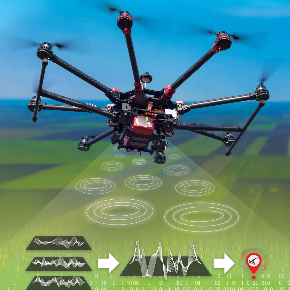
In the U.S., as many as three-quarters of a million oil and gas wells are orphaned, their locations and operators are unknown, and many are leaking climate-warming methane into the atmosphere. We’ve got to find them, but surveying the United States with airplanes and drones gives only limited coverage.
“If we want to reconstruct the full field to potentially be able to find these wells, we need advanced machine learning models to grab these sparse data sets and fill in the blanks,” says Javier E. Santos, a researcher and director’s fellow at Los Alamos National Laboratory (LANL).
Santos and his colleagues at LANL hope to get one step closer to pinpointing these orphaned wells with Senseiver, a neural network they developed to digest a lot of information and put it into concise and usable form. They describe their work in a paper published November 6 in Nature Machine Intelligence.
That usable form is known as a latent space, or a compact array in computer programming terms. It is a list of related values “that has the information of the system distilled,” he explains.
Senseiver builds on Google’s Perceiver IO architecture (hence the name), which employs an attention operation. Santos likens it to ChatGPT, which predicts the next word in a sentence. “It doesn’t look at the words in order. It just looks at all the interactions between them, and based on that, computes the missing word,” he adds.
Senseiver takes field observations from sensors plus the sensor locations as inputs, then assigns weights to them using the attention operation to predict the next measurement. For instance, Senseiver’s AI model was trained on a data set from the National Oceanic and Atmospheric Administration. This data set spans two decades (1981 to 2001) of observations of the earth’s sea surface temperature made from satellites and sensors on ships. The trained model was then tested to forecast temperatures up to 2018,. Even when operating with only 50 sensors, its predictions had an error of less than 1 degree Celsius.
“If we have a couple hundred buoys or boats recording sea temperature, we can send those measurements into this machine learning model and ask for the sea temperature in spots where it has not been observed,” says Santos. “It’s going to reconstruct those spots based on the information from the sensors that are available.”
Despite a high level of accuracy amid scarce data, Senseiver still needs “a decent amount of temporal and spatial coverage for its training data set,” Santos says. “When we give it less and less data, the performance degrades.”
Yet Senseiver is more efficient than the competition. Convolutional neural networks—the go-tos for image recognition programs—require a lot of parameters and are computationally expensive because they “have to visit every single location in an image in order to train or predict,” notes Santos. Senseiver, on the other hand, “only visits locations that you are interested in, and that makes it really cheap,” he says.
Senseiver’s lean operation suits it for low-powered edge computing devices, such as drones and networks of field-deployed sensors. The AI model could also be valuable in applications such as adverse weather predictions, contaminant tracing, precision agriculture, subsurface sensing, tracking migration patterns of wildfire, and climate monitoring.
And when it comes to searching for orphaned wells, Santos and his colleagues are looking into piloting drones automatically with the help of Senseiver. “If our main target is to find the highest concentration of methane in a large field, which could be hundreds of acres, we could use a methane sensor to sniff on the fly and use Senseiver to reconstruct the possible paths where the drone could go and pick the one that maximizes the chances of finding an orphaned well,” he says. “That’s still far away from where we’re at, but it will be one of the paths that we would like to take.”
Rina Diane Caballar is a writer covering tech and its intersections with science, society, and the environment. An IEEE Spectrum contributing editor, she's a former software engineer based in Wellington, New Zealand.


