This article is part of our exclusive IEEE Journal Watch series in partnership with IEEE Xplore.
Neural networks designed to analyze medical images may help predict where landslides are most likely to occur, a new study finds.
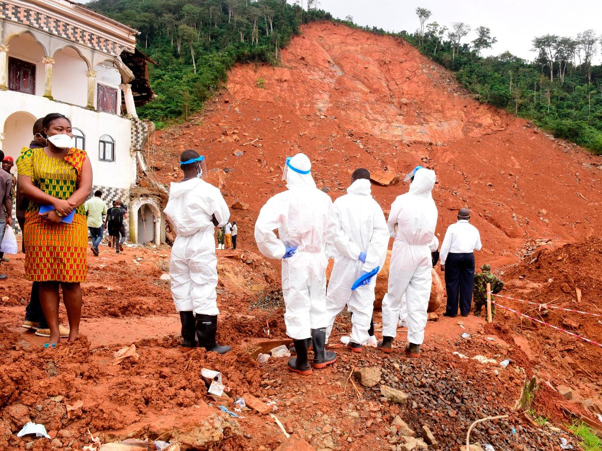
Globally, landslides cause thousands of deaths and many billion dollars of damage each year, according to the U.S. Geological Survey. A 2017 landslide in Sierra Leone, for example, killed more than 1,100 people and left more than 3,000 homeless.
In the new study, engineers at the Sapienza University of Rome used artificial intelligence to predict the likelihood of landslides in their country. Italy is especially prone to landslides, since 75 percent of its area is mountainous or hilly. Landslides have been recorded across nearly 24,000 square kilometers of the country, equal to almost 8 percent of its territory, according to Italy’s Higher Institute for Environmental Protection and Research.
A great deal of research has been devoted to creating maps that try to predict where landslides will most likely happen. Recent advances in machine learning led the researchers to explore how AI might help in those predictions, by analyzing geographic data for factors such as slope and vegetation.

In the new study, the researchers had a deep neural network examine data from the U.S. LandSat-8 and TERRA satellites. They focused on two landslide-prone regions—Lombardy in northern Italy, known for its mountainous terrain and frequent seismic activity, and Abruzzo in southern Italy, known for its unstable rock formations and potential high levels of rain.
The scientists employed the U-NET architecture, a neural network originally designed to spot brain tumors in MRI scans that has since found other uses. The AI system examined terrain factors such as 3D topography, wetness, vegetation, and rock and soil type.
The researchers used 80 percent of their satellite data to train the neural network. Then they used the trained AI system to analyze the remaining 20 percent of the data and make predictions as to which terrain was most likely to experience landslides. The neural network proved 98 percent accurate at where landslides actually occurredin these tests, better than previous neural networks designed for landslide prediction. The researchers note that the number and severity of landslides are growing due to climate change.
A major limitation of this new work is that it does not account for key climate-related factors that may change over time, such as precipitation, says Tong Qiu, a geotechnical engineer at Pennsylvania State University, who did not take part in this research.
“All factors considered in the present study are static—that is, these factors don’t change with time,” Qiu says. To further improve this system “to predict the timing of landslides, precipitation [also] needs to be considered.”
The Italian scientists detailed their findings in June at the Mediterranean Conference on Control and Automation.
Charles Q. Choi is a science reporter who contributes regularly to IEEE Spectrum. He has written for Scientific American, The New York Times, Wired, and Science, among others.


