The U.S. Global Positioning System fleet of satellites provides critical data for navigation apps, banks, power grids, and other commercial and government infrastructure. But for the past decade, it has operated without a safety net, with no backup system in place. Now, two U.S. federal agencies want to change that, and they could select one or more alternatives by September.
Next month, the U.S. Department of Transportation (DOT) is due to deliver the results of a recent demonstration of potential GPS backup technologies to the National Executive Committee for Space-Based Positioning, Navigation, and Timing (PNT). The committee, which is cochaired by deputy secretaries of the U.S. Departments of Transportation and Defense, is expected to use the findings to announce next steps sometime in August. Those steps may include selecting one or more technologies and issuing a request for proposals for companies to develop them.
Eleven finalists participated in the two-week, mid-March demo, in which they showed how their respective PNT systems would perform if GPS went down because of jamming, spoofing, or other problems. The companies, which tested both space- and ground-based systems and include venture-backed startups and industry old-timers, were awarded a total of approximately US $2.5 million to prepare for the demos.
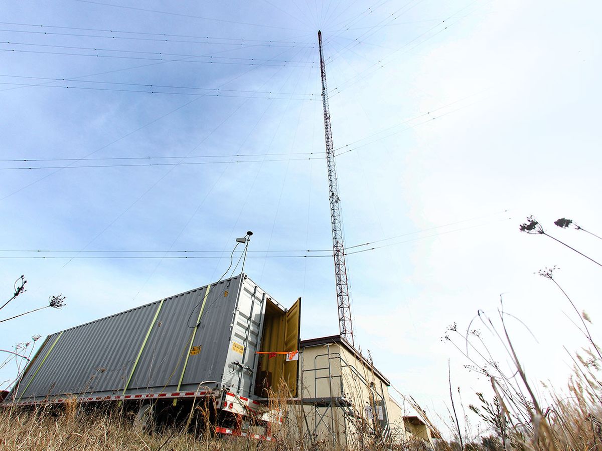
Tests were split between NASA’s Langley Research Center in Hampton, Va., and a 155-acre test range operated by the DOT and the John A. Volpe National Transportation Systems Center at Joint Base Cape Cod in Buzzards Bay, Mass. The test portion was finished by the time states began issuing orders to shelter in place because of COVID-19; however, a 20 March VIP day that would have concluded the demo at Joint Base Cape Cod was canceled because of the outbreak. The DOT did not respond to a request for comment, but it has not indicated that the timeline for its decision would be affected by ongoing efforts to stem the pandemic.
A GPS fail-safe has been a long time coming. A previous backup was built on the Loran-C radio navigation system that had been in use in some form since World War II, but it was determined to be obsolete and was dismantled in 2010. Four years later, lawmakers and federal agencies began investigating a new alternative. Although Congress passed laws in 2017 and 2018 authorizing tests of backup options, red tape and lack of funding delayed activity until last year, when a newly appointed DOT assistant secretary for research and technology fast-tracked funding for a test.
Companies that participated in the demo had to show systems that could provide either timing or positioning data or both, and operate independently of GPS or broadcast signals from any other Global Navigation Satellite System (GNSS). On NASA’s technology-readiness-level system, which measures the maturity of a particular technology on a scale of 1 to 9, demo systems had to operate at TRL 6 or higher.
Here are some of the companies that participated:
UrsaNav, of North Billerica, Mass., is one of several in the demo developing enhanced long-range navigation, or e-Loran, which according to researchers has better receiver design and transmission than the older, analog-based Loran-C technology it replaces. In both schemes, ground stations emit low-frequency radio waves that receivers can use to triangulate positioning. The new version features additional pulses that can transmit auxiliary data. “Government studies and academia say it’s the best option,” said UrsaNav’s cofounder and CEO Chuck Schue, who’s been in the industry since the 1970s and has set up such systems around the world.
If tapped as a GPS backup provider, Hellen Systems, of Middleburg, Va., intends to act as a systems integrator. The company would create an e-Loran system from existing technology from Continental Electronics Corp., which makes solid-state transmitters, and Microsemi Corp., which produces advanced timing and frequency products and receiver and reference systems, among others. “It’s plug-and-play, the products are commercially available, and it’s inexpensive for users to adopt,” said Trowbridge “Bridge” Littleton, Hellen’s cofounder and copresident.
Echo Ridge’s GPS alternative is made up of a wireless augmented positioning system that uses signals from the existing Globalstar network of 24 low Earth orbit satellites combined with its own proprietary software and end-user device. “We receive the signals they are using for communications without modification and make measurements on them to determine position and navigation,” said Joe Kennedy, president of the Sterling, Va., company.
The venture-backed Dutch company OPNT is the only finalist to offer a time-based backup, using multiple national timing sources rather than a satellite network to triangulate positioning. The service connects to existing fiber networks based on the White Rabbit protocol developed by the European Organization for Nuclear Research (CERN). OPNT has launched beta versions of the service in the United States and the Netherlands. “We could deploy as fast as our investors give us money or customers sign up,” said CEO Monty Johnson.
Other finalists include NextNav, PhasorLab, Satelles, Serco, Seven Solutions Sociedad Limitada, Skyhood Holdings, and TRX Systems.
This article appears in the May 2020 print issue as “Wanted: A Fallback for GPS.”
This story was updated on 27 April 2020.


