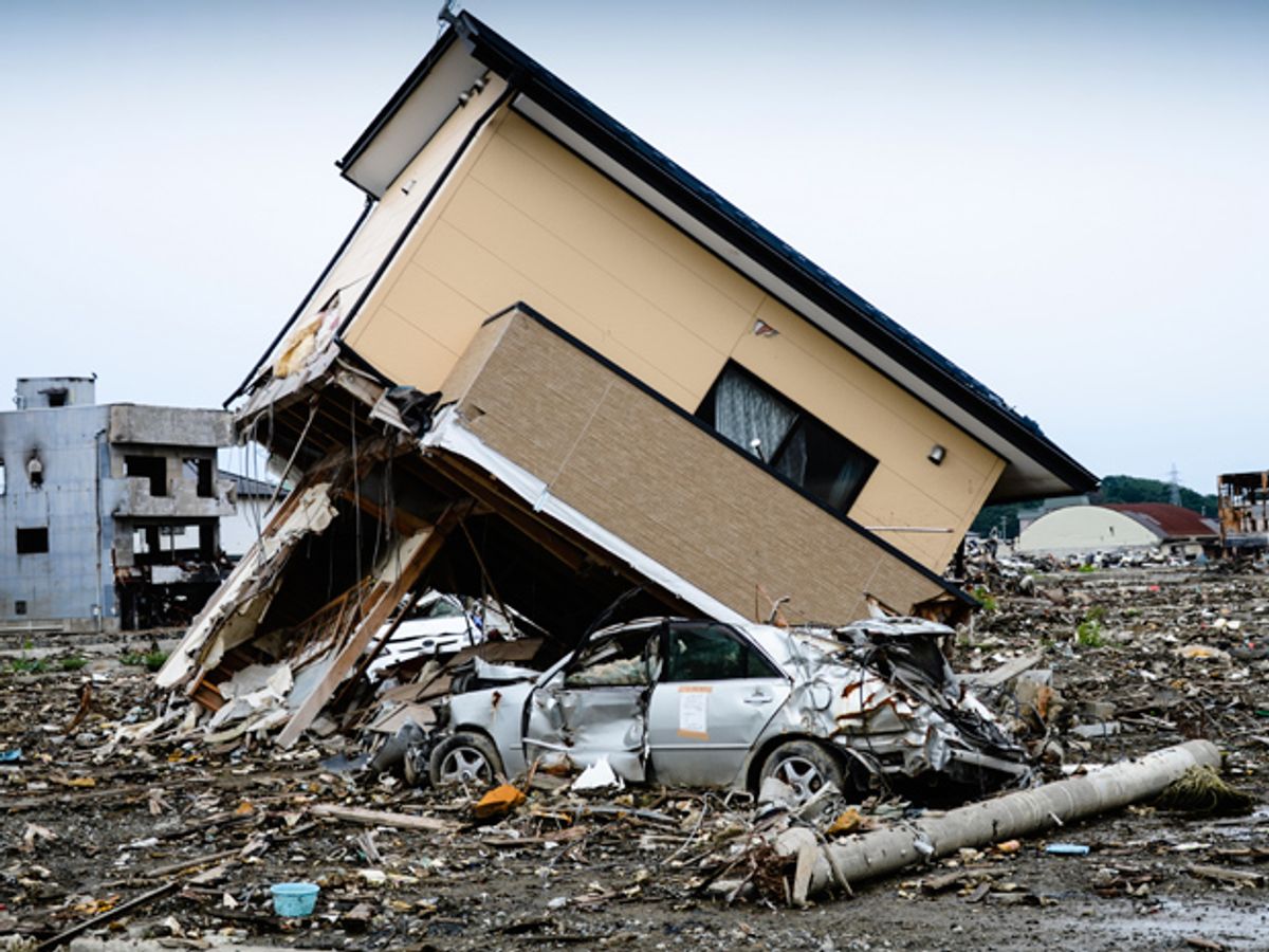
Smartphones and other GPS-enabled devices could serve as a network to provide early warning for large earthquakes, scientists at the United States Geological Survey say. Such a crowdsourced system could rapidly detect the start of a quake and warn people seconds before tremors or tsunami waves reach them.
“Seconds really matter,” says Benjamin Brooks, a geophysicist at the USGS. “In five seconds, kids at school could get under their desks, gas lines could be shut off, or trains stopped.”
Japan and Mexico are the only countries in the world that employ earthquake-warning systems; the USGS is now testing one for the western United States. These systems are based on networks of hundreds of seismometers spread across a large area.
Some of the systems are now starting to incorporate scientific-grade GPS into their network of seismic sensors. Because GPS sensors take continuous measurements of location, they can detect permanent ground movement due to the motion of a geological fault that triggers an earthquake.
Adding in the ubiquitous GPS sensors in people’s phones and car navigation systems, instead of relying only on scientific-grade GPS, would improve the accuracy and speed of early earthquake warnings at practically no cost, says Brooks.
Plus, crowdsourcing earthquake warning could save hundreds of lives in regions that face large seismic risks but cannot afford early warning systems, such as the Caribbean, Central and South America, and South Asia. GPS-equipped cellphones are ubiquitous in these regions.
To test the ability of consumer-grade GPS devices to detect earthquakes, the researchers subjected a Google Nexus 5 smartphone and a u-blox GPS module to displacements ranging from 10 centimeters to 2 meters. Both GPS receivers could detect the smallest motion.
Next, the researchers performed simulations using data from a hypothetical magnitude 7 earthquake in northern California and from the real 2011 magnitude-9 earthquake that hit Tohoku-oki, Japan. They simulated smartphone responses based on census data around the earthquake epicenters. They assumed that a phone is triggered if it and its four nearest neighbors measure more than 5 cm of movement. And if at least 100 phones are triggered, they declared the earthquake.
It took fewer than 5,000 smartphones to detect the simulated California earthquake within 5 seconds, giving enough time to warn the cities of San Francisco and San Jose. Phone data was also enough to locate the epicenter to within 5 kilometers and to calculate the evolution of the quake’s strength in real-time.
For the Japan earthquake, which had an offshore epicenter, detection occurred at just over 80 seconds, too slow for the closest onshore towns, but enough time to issue a warning to Tokyo. The researchers reported these results in the journal Science Advances.
Of course, even though accessing a smartphone’s raw data involves a small software change, you’d need the device manufacturer’s permission to do that. And consumer-grade GPS has its limits. “The system we’re talking about has little or no utility for earthquakes less than magnitude 7,” Brooks says. But for a low-cost solution, it could be worth a shot.
Prachi Patel is a freelance journalist based in Pittsburgh. She writes about energy, biotechnology, materials science, nanotechnology, and computing.


