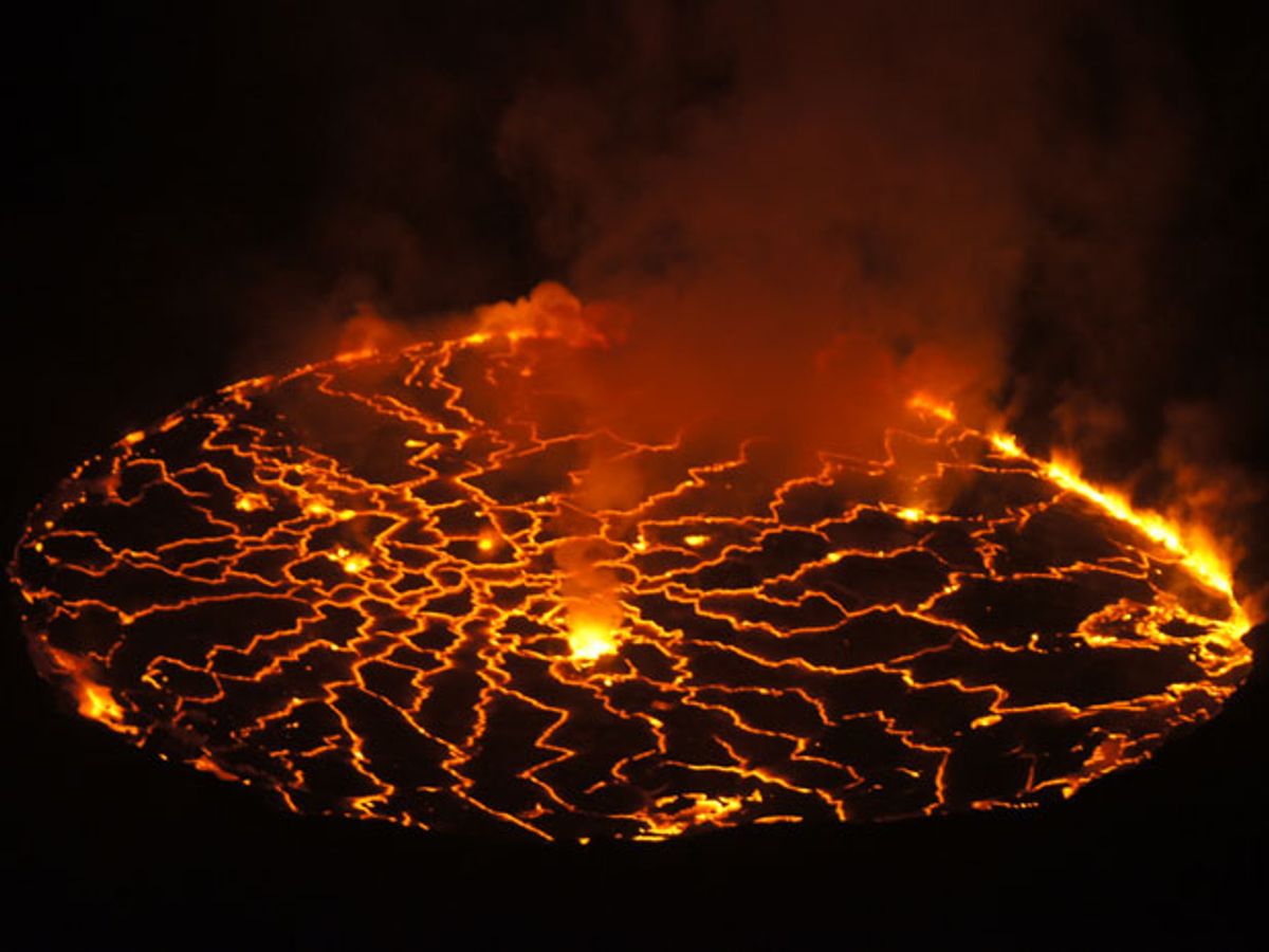
Volcanoes erupting like angry boils across the face of the Earth no longer need seem as mysterious as the unpredictable moods of the gods. Satellites flying 36,000 kilometers above the Earth's equator have proven they can take the temperature of volcanic lava as effectively as thermal cameras on the ground—a step toward making better predictions of future eruptions.
The new satellite measurement technique used the SEVIRI (Spinning Enhanced Visible and InfraRed Imager) instrument aboard a Meteosat satellite to monitor the temperature of a lava lake within Mount Nyiragongo, in the Democratic Republic of Congo. European researchers who pioneered the technique also used the same trick to study a lava fountain at Sicily's Mount Etna, in August 2011.
"We found a very similar radiant heat flux curve—that's the measurement of heat energy being given out—from the ground-based thermal camera placed a few kilometers from Etna and from SEVIRI at 36,000 kilometers above the Earth," said Gaetana Ganci, a researcher at the the Istituto Nazionale di Geofisica e Vulcanologia (INGV) in Italy, in a press release.
Ganci and her colleagues detailed their latest experiment in the Journal of Geophysical Research: Solid Earth. But they have greater ambitions thanks to a homegrown algorithm called HOTSPOT that detects thermal anomalies linked to volcanoes. Such an algorithm can use thermal image data from the Meteosat satellites—four geostationary weather satellites watching over Europe and Africa—to calculate the amount of heat energy emanating from a given region.
Researchers have already shown how to combine Meteosat SEVIRI images with more detailed but less frequent imagery from the Moderate Resolution Imaging Spectroradiometer (MODIS) aboard NASA's Aqua satellite to spot unusual temperature changes before a volcanic eruption takes place. Now, they aim to create a new version of HOTSPOT that can power an automatic system for monitoring volcanoes worldwide and improving predictions of eruptions.
But better predictions would also require additional data beyond thermal imagery from satellites, Ganci said. She suggested an ideal combination of both ground and space data such as infrared, radar interferometry and seismic measurements.
Satellites have also proven useful for spotting other potential hotspots such as wildfires. Researchers at the University of California, Berkeley have been developing a geostationary satellite capable of spotting fires as small as 3 meters on each side.
Jeremy Hsu has been working as a science and technology journalist in New York City since 2008. He has written on subjects as diverse as supercomputing and wearable electronics for IEEE Spectrum. When he’s not trying to wrap his head around the latest quantum computing news for Spectrum, he also contributes to a variety of publications such as Scientific American, Discover, Popular Science, and others. He is a graduate of New York University’s Science, Health & Environmental Reporting Program.


