The problem, says Frank Marks, Director of NOAA's Hurricane Research Division, was that while most people look to the National Hurricane Center for information on a coming storm, the rain impact comes from another organization, the National Weather Service Hydrometeorological Prediction Center. And storm surge prediction is a joint effort between the National Ocean Service and the National Hurricane Center. Unlike the detailed track and intensity maps on the National Hurricane Center’s websites, this information has been hard for the average storm Googler to track down. Not even the media knew to look to the Hydrometeorological Prediction Center for information.
So, while researchers have been flying into hurricanes for several years gathering detailed information about the guts of a storm and, since last year, using that information in operational forecasts to improve their predictions of storm intensity, some of the most important information coming from the sophisticated prediction tools wasn’t getting out to the public.
Marks, talking to IEEE Spectrum while en route to Tampa into the eye of Hurricane Sandy, says many of these problems have been fixed in time for Hurricane Sandy. Marks co-led an assessment of the “overall effectiveness of National Weather Service products and services, decision support, collaboration and communication, operational procedures, and preparedness activities” in Hurricane Irene. The biggest problem, the assessment found, was that the National Weather Service failed to adequately convey the threat of flooding; it had the information, but it wasn’t conveyed to the public effectively enough to catch people’s attention.
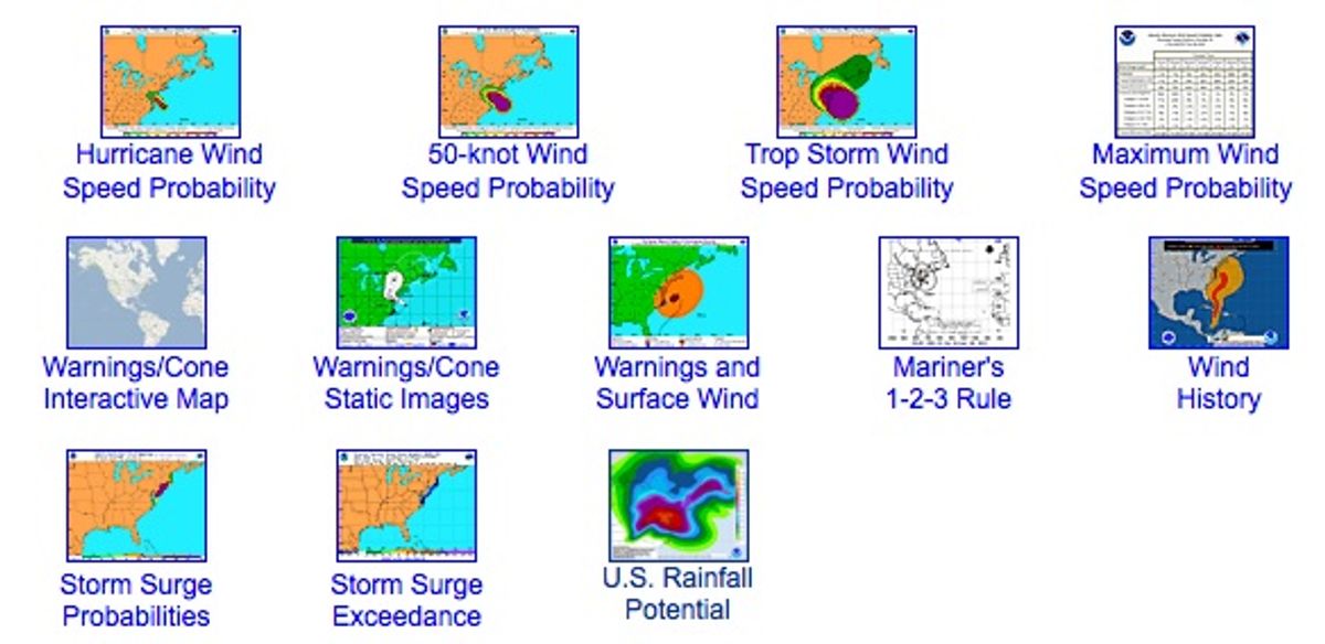
One improvement: the National Hurricane Center is listing the flooding and storm surge tools on its main hurricane web site and linking directly to graphics put out by the two other organizations involved.
Here’s what those graphics looked like midday Monday. The main National Hurricane Center site gives a number of forecast options (image, top).
Rainfall predictions, coming from the National Weather Service’s Hydrometerological Prediction Center, are one click away.
A zoom-in graphic on the National Hurricane Center site maps storm surge predictions.
The assessment report on Irene recommended that the National Weather Service use all the communications technologies of today, for example, building interactive online graphics to help users understand weather information, and tweeting and using other social media to get the word out.
And that process has started. On Twitter right now, you can follow tweets about the storm @NHCDirector. Marks and others are tweeting from within the eye of Hurricane Sandy @HRD_AOML_NOAA. On Facebook, you can follow the National Hurricane Center and the Hurricane Research Division.
And you can of course follow me on Twitter @TeklaPerry.
Tekla S. Perry is a senior editor at IEEE Spectrum. Based in Palo Alto, Calif., she's been covering the people, companies, and technology that make Silicon Valley a special place for more than 40 years. An IEEE member, she holds a bachelor's degree in journalism from Michigan State University.


