The COSMIC constellation—a set of satellites that improbably exploits signals from the U.S. Global Positioning System to obtain atmospheric data—is aloft after a rocky start and is producing readings that improve weather forecasts and climate models. Since the satellites’ launch in 2006, three have experienced serious malfunctions. One lost a solar panel and is still working at reduced capacity, while another lost its solar-panel drive mechanism, leaving the panels stuck in one direction. A third mysteriously took a prolonged vacation for two months but just as inexplicably came back to life again last November.
Even so, forecasters already have come to appreciate COSMIC’s high-quality vertical views of the global atmosphere from the ionosphere down into the troposphere, to within 1 kilometer of Earth’s surface. A single sounding from a COSMIC satellite helped predict the formation of Hurricane Ernesto in late August 2006, which killed eight people and caused more than US $500 million in damage.
”The COSMIC data are unique,” says Stephen Lord, director of the U.S. National Oceanic and Atmospheric Administration’s environmental modeling center, which uses the satellites’ soundings of temperature, pressure, and humidity for global weather forecasts. ”They measure the atmosphere in a way that no other instruments measure it.”
COSMIC, or Constellation Observing System for Meteorology, Ionosphere, and Climate, is a collaboration between the University Corporation for Atmospheric Research (UCAR) in Boulder, Colo., and the government of Taiwan. Its primary goal is to demonstrate the predictive powers of a new technique called near-real-time radio occultation [see ”Roundabout Way of Profiling Earth’s Atmosphere,” IEEE Spectrum, April 2006]. As the six COSMIC satellites travel in low-Earth orbit, they pick up radio signals from the 28 civilian GPS satellites in higher orbits. COSMIC’s receivers measure changes in the frequency of the GPS radio signals, as the COSMIC and GPS satellites rise and set relative to each other. The frequency changes reflect changes in atmospheric conditions.
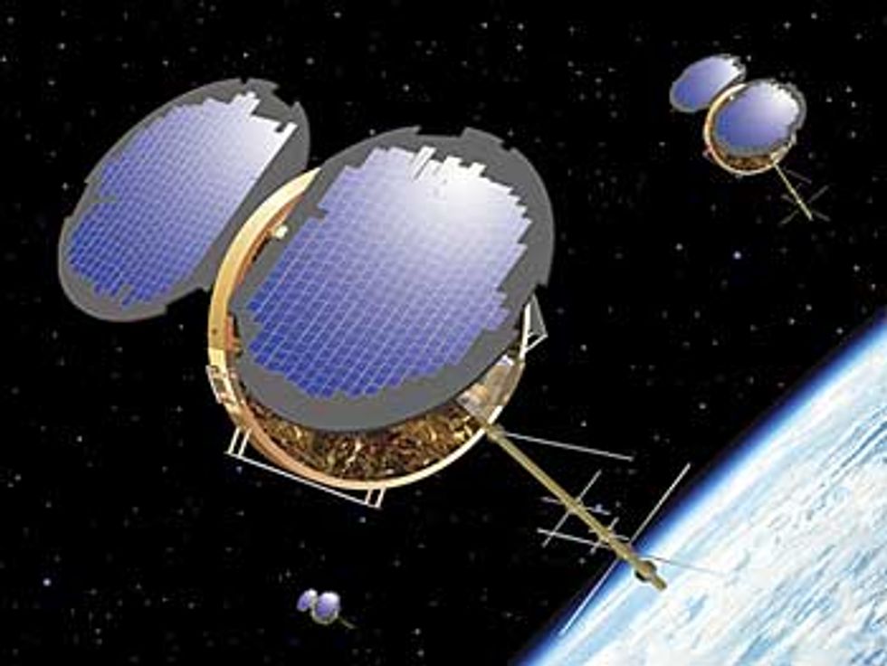
Eyes in the sky
The COSMIC satellites [right] use GPS signals to help predict storms like Typhoon Krosa [top], which tore into Taiwan last year.
A number of weather centers have been able to make measurable improvements in their accuracy using data from COSMIC, including the National Centers for Environmental Prediction in the United States, the European Centre for Medium-Range Weather Forecasts, Britain’s Met Office, and Météo France, says Richard Anthes, who conceived the COSMIC mission and is the president of UCAR. ”The improvements are especially remarkable, given the relatively small number of COSMIC data compared to other sources of weather data,” he says. From September 2006 to August 2007, the COSMIC constellation provided more than 730 000 lower atmospheric and 1 005 000 ionospheric weather profiles to 610 weather centers around the world.
As expected, COSMIC has been particularly useful to East Asian countries like Taiwan that are exposed to devastating typhoons. The satellites have helped predict cyclonic storms over areas of the Pacific and the South China Sea where weather data are otherwise sparse, says Chris Rocken, a UCAR lead scientist for COSMIC.
”We are still learning how to use COSMIC data in an optimal way,” says Anthes. With luck, the battered bunch of satellites will last long enough for that and maybe make it through to finish their mission in 2011.
To Probe Further
To see a video of how COSMIC interacts with the GPS satellites, watch Episode 3 of The Full Spectrum.