What if you suddenly found that everything you thought you knew was wrong? Okay: What if you suddenly found that everything you thought you knew was slightly wrong?
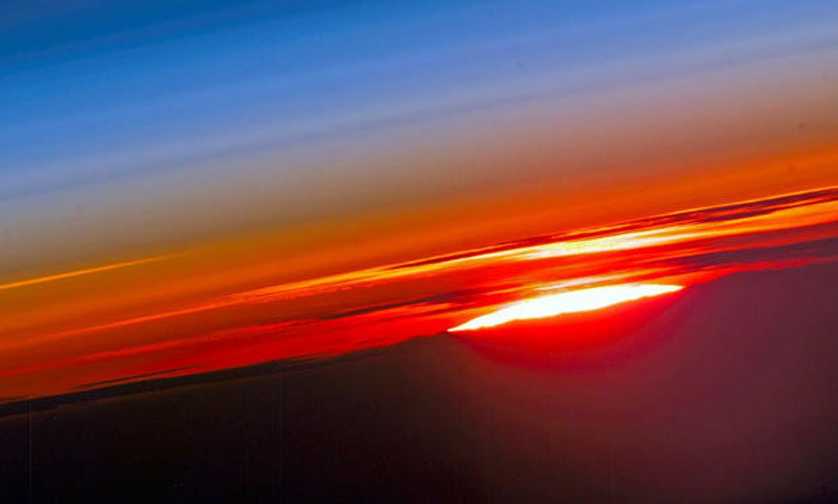
For years, climate researchers have mined radio occultation data to produce a picture of the atmosphere. Just as refraction makes the sun appear to drop tendrils down to the horizon as it sets, the atmosphere bends radio waves arcing through the upper air from medium-Earth-orbit GPS satellites (circling at altitudes of about 20 200 km) to low-Earth-orbit satellites (non-geostationary communications and remote-sensing craft at altitudes of about 2000 km). Picture a GPS satellite beaming a ray over the surface of the Earth to a low-flying satellite playing peek-a-boo around the curvature of the earth, with the atmosphere acting like a prism to bend the light path downward.
Environmental scientists can track the exquisitely timed GPS signals to measure how a wave’s path and phase shift, analyzing it to give a picture of atmospheric pressure and, especially, temperature at almost every altitude.
The basic formula for calculating the refractive bending angle dates back to 1953, and includes terms for deflection by dry atmosphere, moist atmosphere (humidity), water droplets, and ionospheric effects, all as functions of altitude. The atmospheric, humidity, and water droplet terms all tend to increase the beam’s downward bend. The ionospheric term—a function of electron density (number of electrons per cubic meter) and the beam’s frequency—tends to bend the beam back up towards the horizontal. In effect, the ionospheric term masks some of the effects of temperature and humidity.
Despite later refinements in the bending angle calculation, subsequent studies may not have made enough allowance for the wide fluctuations in high-atmosphere ionization caused by the ever-changing solar wind.
The purpose of the research, the authors note, is to allow more accurate interpretation of very large-scale, very long-term climate monitoring and projection. Foelsche readily concedes that the effect is small, but it does affect our understanding of the current situation. For example, atmospheric warming near the Earth's surface seems to be accompanied by a cooling in the stratosphere. The CHAMP satellite was launched in 2000 (just in time for the maximum) and re-entered the atmosphere in 2010 (just after the minimum). So the gradual decline of ionospheric bias would have masked anthropogenic cooling of the upper atmosphere, leading us to underestimate the magnitude of the effect, Foelsche says.
Image: Wegener Center
(Post revised to correct 0.4 microradian bias figure.)
Douglas McCormick is a freelance science writer and recovering entrepreneur. He has been chief editor of Nature Biotechnology, Pharmaceutical Technology, and Biotechniques.


