My nephew recently sent me an email about our latest shared obsession: Microsoft’s Flight Simulator 2020. “Flying a Cessna 152 in this game feels exactly like flying one in real life,” he wrote. And he should know. Growing up next to a small regional airport, he saw private aircraft flying over his home every day, and he learned to fly as soon as his feet were long enough to reach the rudder pedals.
While he relaxes with the game, my experiences with it have been more stressful. Covered with sweat as I carefully adjust ailerons, trim, and throttle, I worked my way through the how-to-fly lessons, emerging exhausted. “It’s just a simulation,” I keep telling myself. “It doesn’t matter how often I crash.” But the game is so realistic that crashing scares the daylights out of me. So while playing I remain hypervigilant, gripping the controls so tightly that it hurts.
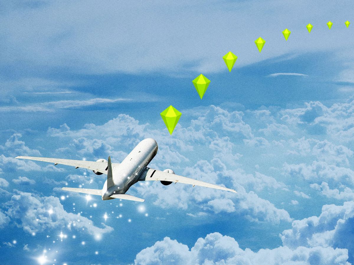
All that realism begins with the cockpit instruments and controls, but it extends well beyond. Players fly over terrain and buildings streamed from Microsoft’s Bing Maps data set, and the inclusion of real-time air traffic control information means players need to avoid the flight paths of actual aircraft. For a final touch of realism, the game also integrates real-time meteorological data, generating simulated weather conditions that mirror those of the real world.
Flight Simulator 2020 purposely mixes a simulation of something imaginary with a visualization of actual conditions. Does that still qualify as a game? I’d argue it’s something new, which is possible only now because of the confluence of fast networks, big data, and cheap but incredibly powerful hardware. Seeing YouTube videos of Flight Simulator 2020 users flying their simulated aircraft into Hurricane Laura, I wonder whether an upgrade to the game will one day allow players to pilot real drones into a future storm’s eye wall.
If that prospect seems far-fetched, consider what’s going on hundreds of kilometers higher up. That’s the realm of Saber Astronautics, whose software can be used to visualize—and manage—the immense number of objects orbiting Earth.
Before Saber, space-mission controllers squinted at numbers on a display screen to judge whether there was a danger from space debris. Now they can work with a visualization that blends observational data with computational simulations, just as Flight Simulator 2020 does. That makes it far easier to track threats and gently nudge the orbits of satellites before they run into a piece of space flotsam, which could turn the kind of cascading collisions of orbital space junk depicted in the film Gravity into a real-life catastrophe.
We’ve now got the data, the networks, and the software to create a unified simulation of Earth, from its surface all the way into space. That could be valuable for entertainment, sure—but also for much more. Weaving together data from weather sensors, telescopes, aircraft traffic control, and satellite tracking could transform the iconic “Whole Earth” image photographed by a NASA satellite in 1967 into a dynamic model, one that could be used for entertaining simulations or to depict goings-on in the real world. It would provide enormous opportunities to explore, to play, and to learn.
It’s often said that what can’t be measured can’t be managed. We need to manage everything from the ground to outer space, for our well-being and for the planet’s. At last, we now have a class of tools—ones that look a lot like toys—to help us do that.
This article appears in the November 2020 print issue as “When Games get Real.”
Mark Pesce founded, in 1991, the world's first consumer virtual reality startup. And he and others developed the Virtual Reality Modeling Language ( VRML). He also founded the first company to use VRML to deliver streaming 3D entertainment over the Web. He currently serves as Entrepreneur-in-Residence at the University of Sydney's Incubate program. In addition to being an engineer and a teacher, Pesce is also a popularizer. In 2005, the Australian Broadcasting Corporation invited Pesce to become a panelist and judge on the television series "The New Inventors." In 2011 Pesce published his sixth book, The Next Billion Seconds. In 2014, Pesce and Jason Calacanis launched the podcast This Week in Startups Australia. Later Pesce started The Next Billion Seconds podcast. And since 2014, he's been a columnist for The Register.


